Atacama
Desert & Altiplano, Chile
Cuenca del salar
Catarpe
-
- Bike
-
- Easy
-
- 17,9 km / 11.1 mi
- Half-day
- 2 h 30 m
Exploration Path
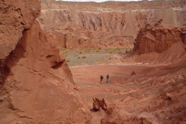
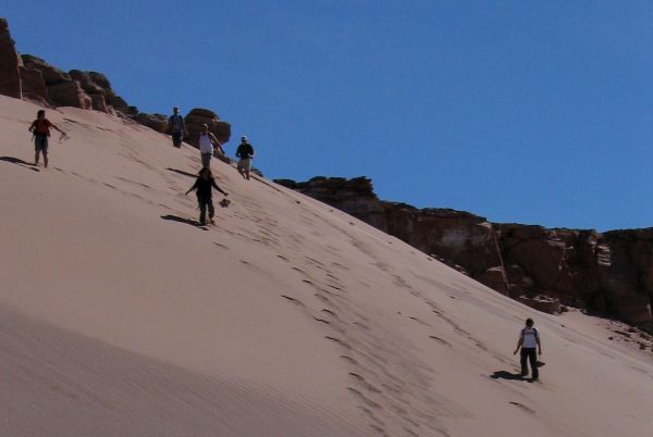
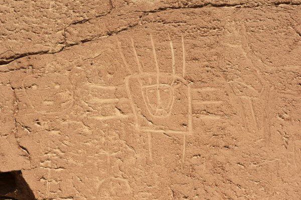
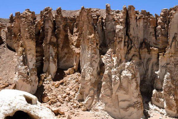
We bike ride to the San Pedro River and follow its course to Catarpe. We go through the Quitor pukará, an old fortress, and cross the Garganta del Diablo (Devil’s Throat), a canyon inside the Salt Mountain Range with zigzagging paths between striking rock formations. We return through the same road.
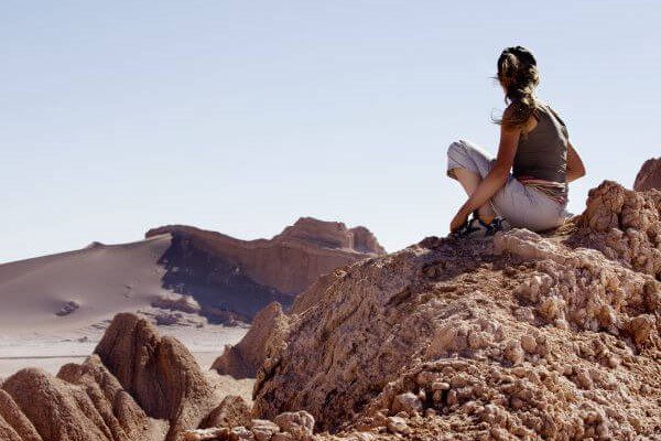
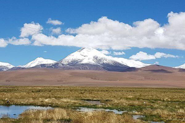
Geometric and seemingly infinite, the Atacama salt flat abruptly interrupts the desert’s chromatic continuum.
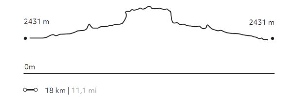
Elevation Profile
- Elevation Gain
-
244 m 801 ft
- Elevation Loss
-
-244 m -801 ft
- Max. Altitude
-
2.546 m 8.353 ft
- Min. Altitude
-
2.431 m 7.976 ft
Select your preferred explorations.
Select your preferred explorations.
