Sacred Valley
Sacred Valley of the Incas, Peru
Suni
Huaypo Views
-
- Bike
-
- Advanced
-
- 36,5 km / 22.7 mi
- Full-day
- 8 h 25 m
Exploration Path
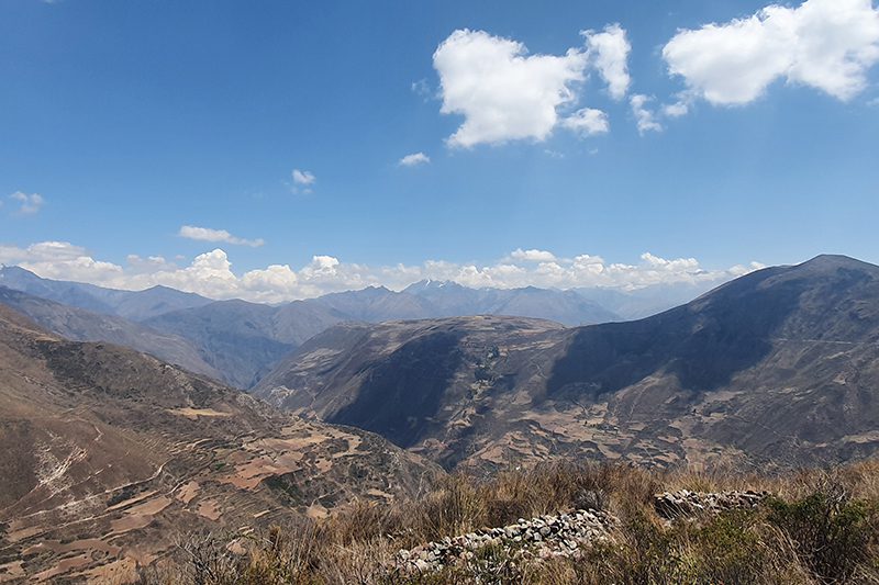
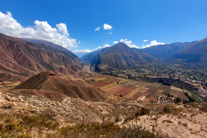
This exploration crosses small farms and villages of Chinchero. It takes the traveler to the remains of the Moray experimental crop center, the colonial town of Maras and its Inca salt-mines, to finalize with a descent to the Urubamba River. This exploration is recommended for travelers in good physical conditions and experienced in mountain biking.
This zone showcases the valley’s verticality – a pivotal component around which the Incas developed their particular cosmovision.
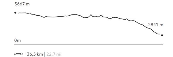
Elevation Profile
- Elevation Gain
-
735 m 2.411 ft
- Elevation Loss
-
-1.557 m -5.108 ft
- Max. Altitude
-
3.710 m 12.172 ft
- Min. Altitude
-
2.841 m 9.321 ft
Select your preferred explorations.
Select your preferred explorations.
