Sacred Valley
Sacred Valley of the Incas, Peru
Suni
Kaytucha
-
- Hike
-
- Moderate
-
- 5,1 km / 3.2 mi
- Half-day
- 5 h
Exploration Path
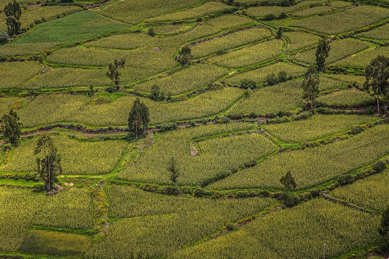
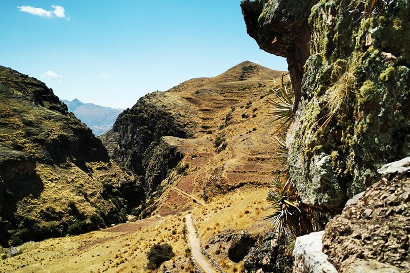
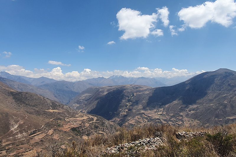
We begin with a visit to the community of Cúper Bajo where we learn about textile techniques. Then we start our hike, ascending up an agricultural road with panoramic views of lagoons, fields of crops and the town of Chinchero. Finally, we descend to the archaeological complex of Chinchero, where Inca and colonial elements merge. We return to explora by van.
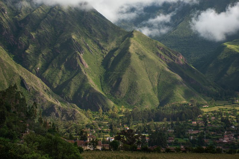
This zone showcases the valley’s verticality – a pivotal component around which the Incas developed their particular cosmovision.
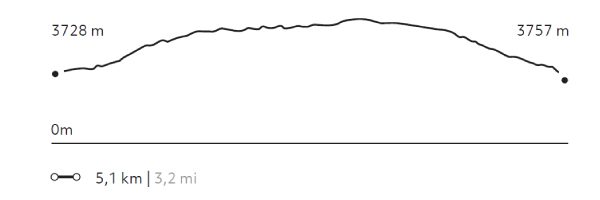
Elevation Profile
- Elevation Gain
-
270 m 886 ft
- Elevation Loss
-
-241 m -791 ft
- Max. Altitude
-
3.992 m 13.097 ft
- Min. Altitude
-
3.728 m 12.231 ft
Select your preferred explorations.
Select your preferred explorations.
