Patagonia National Park
Patagonia, Chile
El Monte
Oportus
-
- High Mountain Ascent
-
- Expert
-
- 13,9 km / 8.6 mi
- Full-day
- 10 h
Exploration Path
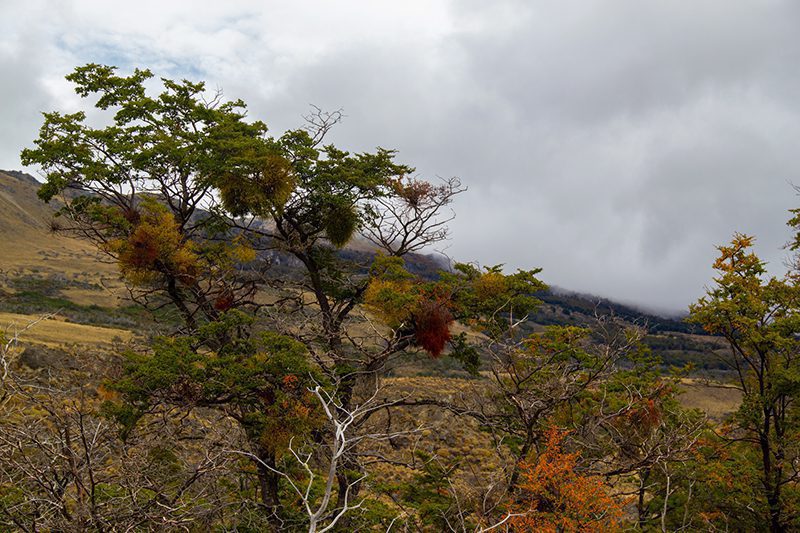
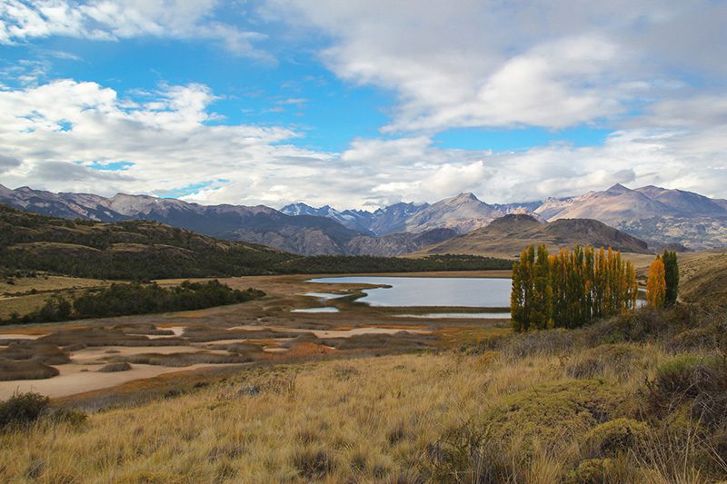
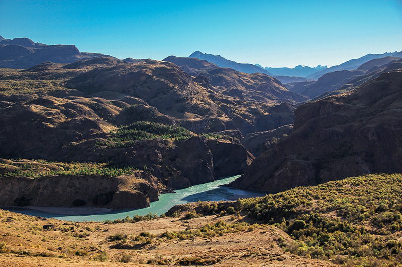
We will cross a thick forest of ñirres and lengas. We will hike along a ridge with a view of the Chacabuco Valley and the Lake Cochrane basin. The marked summit offers a broad view as far as the northern ice field. It is named after Carlos Oportus, who in 1928 studied the situation and the possibilities for residents of the area. This hill reveals a spectacular part of the amazing Patagonia National Park from the heights.
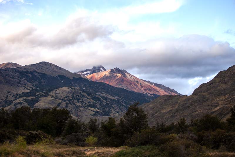
In the Aysén region, "el monte" describes the mountain areas beyond the forest line, where temperatures drop and vegetation disappears. This landscape of the Patagonian Andes, shaped by ancient glaciers, reveals Patagonia's vastness and untamed beauty from a unique perspective. For those wishing to explore the area's natural history and impressive geological formations, exploring this more challenging terrain is an ideal experience.
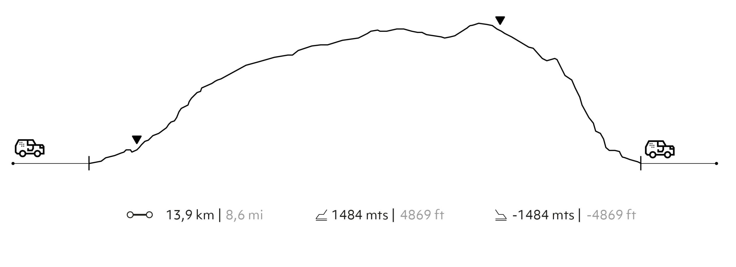
Elevation Profile
- Elevation Gain
-
1.484 m 4.869 ft
- Elevation Loss
-
-1.484 m -4.869 ft
- Max. Altitude
-
2.073 m 6.801 ft
- Min. Altitude
-
684 m 2.244 ft
Select your preferred explorations.
Select your preferred explorations.
