Parque Nacional da Patagônia - Old
Patagonia, Chile
Veranadas
Caminantes
-
- Hike
-
- Advanced
-
- 19,8 km / 12.3 mi
- Full-day
- 9 h
Caminho de Exploração
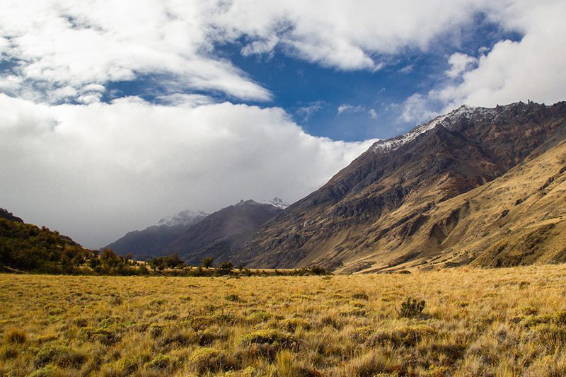
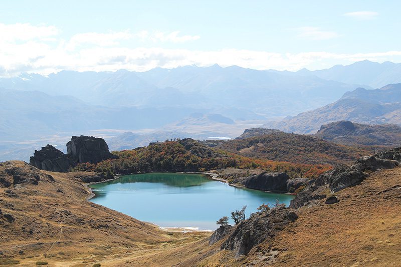
Percorreremos o rio Cochrane e sua bacia hidrográfica, que possui uma das águas mais cristalinas do planeta. Contemplaremos a encosta sul do Parque Nacional da Patagônia, um dos principais habitats do huemul. Visitaremos o Posto Huemul, que é a base para o atendimento e monitoramento dos huemules que por ali passam. Avançaremos por uma floresta coberta com o canto dos pássaros e com uma fauna marcada.
For the troperos - traditional nomadic herders - and ranchers of the region, the year was divided into two key seasons: the "veranada" and the "invernada. During the summer, the troperos drove their cattle to the veranadas, high pastures that, once free of snow, provided abundant grazing in clearings surrounded by deciduous forests of ñirre and lenga. In winter, the herds moved to the winter pastures, lower, sheltered areas where corrals provided protection from inclement weather. Today, thanks to the ecological restoration efforts led by Rewilding Chile, these clearings and ancient forests used for cattle grazing have been transformed into a natural sanctuary waiting to be explored.
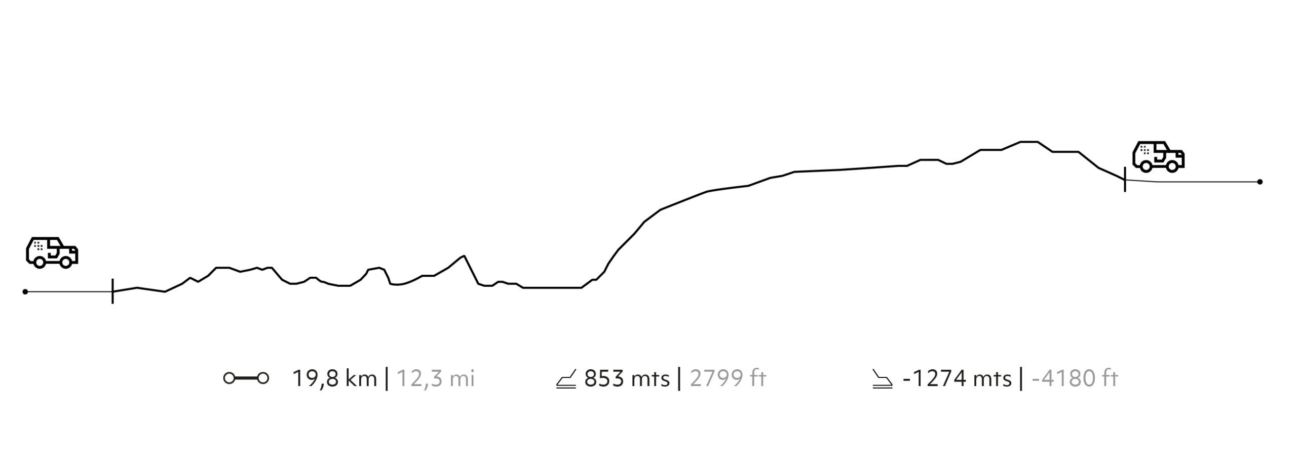
Elevation Profile
- Elevation Gain
-
853 m 2.799 ft
- Elevation Loss
-
-1.274 m -4.180 ft
- Max. Altitude
-
741 m 2.431 ft
- Min. Altitude
-
164 m 538 ft

DESCUBRA NOSSOS DESTINOS
DESCUBRA NOSSOS DESTINOS


